
Access Points:
- Cape Broyle - Park behind the Ultramar on Route 10, immediately south of the river. Walk 100 m along Route 10, turn onto South Side Road, and walk 800 m to the turnaround. Proceed 100 m down side lane to the beach and trailhead.
- Calvert - Turn left off Route 10 and follow the North Side Road. Park on the south side of the road, at Lloyds Grove, just before the end of the pavement. Do not block local access. Walk 800 m along Stone Island Road to the trailhead. Limited parking is available at the trailhead.
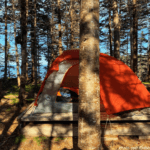
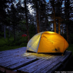
Camping: Wilderness camping is available at Long Will Campsite at Lance Cove, 7.2 km from the Cape Broyle trailhead. No reservations required. The campsite includes six tent platforms and an outdoor primitive toilet. Several of the tent platforms can accomodate group tents. Be sure to carry a camp stove, as open fires are not permitted.
Community Walk Getting to Caplin Bay Path: After exiting the trail at the Calvert trailhead, follow Stone Island Road for 800 m, and North Side Road to the Gut (3.1 km), and then to the Cross (600 m). Turn left onto Route 10 (High Road), and follow the highway for 800 m to Deep Cove and the Caplin Bay Path trailhead (total: 5.3 km).