New Path Completed: Pouch Cove to Cape St. Francis
Wednesday, October 5, 2011
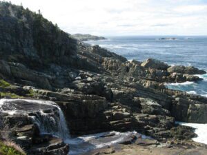
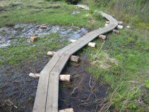
This summer and fall the ECTA crew has worked hard and finished development of the path from Pouch Cove north to Cape St. Francis. Development in the 2010 season completed and enhanced the Pouch Cove to Freshwater River portion, ending at a natural break outcrop with a picturesque falls and islands viewpoint north.
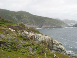
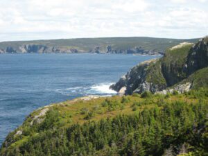
Two strategic loops have been added to the traditional path: one down to White Point with coastal views north and south and a climb up through turf and into the woods; and the second at Big Cove meandering down towards dramatic Anvil Rock and back up, along a stream, then over the ridge towards the cape.
A hiker can return from Cape St. Francis via the trail or opt for the shorter 4 km gravel road route south to the Water Witch trailhead in Pouch Cove near the end of the paved road.
This beautiful path is now complete with signage and a map (N#5), and is called the Biscan Cove Path.
There is no designated ECT parking lot. Parking is available at the ball park and at the Water Witch trailhead.
Story and photos by J van Houwelingen
Check out the Biscan Cove Path details.
